Our Services
Aerial Imaging
We can provide a wide array of quality and professional aerial imagery and videography. Some examples may include: real estate, marketing of events, company videos/pictures, golf course layouts, anything you can possibly need. Our imaging technologies and variety of digital UAV cameras and high-resolution images provide professional-grade image quality in terms of resolution, color fidelity, range and accuracy. You name it, we can capture it!

Aerial Inspections
Drone technology now offers inspectors a quicker, safer, and more convenient option. By utilizing sUAVs, inspectors are able to examine locations that would normally be difficult and unsafe to access. Examples of industries that can benefit from our drone inspection services are telecommunications, manufacturing and construction industries, steel/aluminum, oil/gas, and power generation fields.
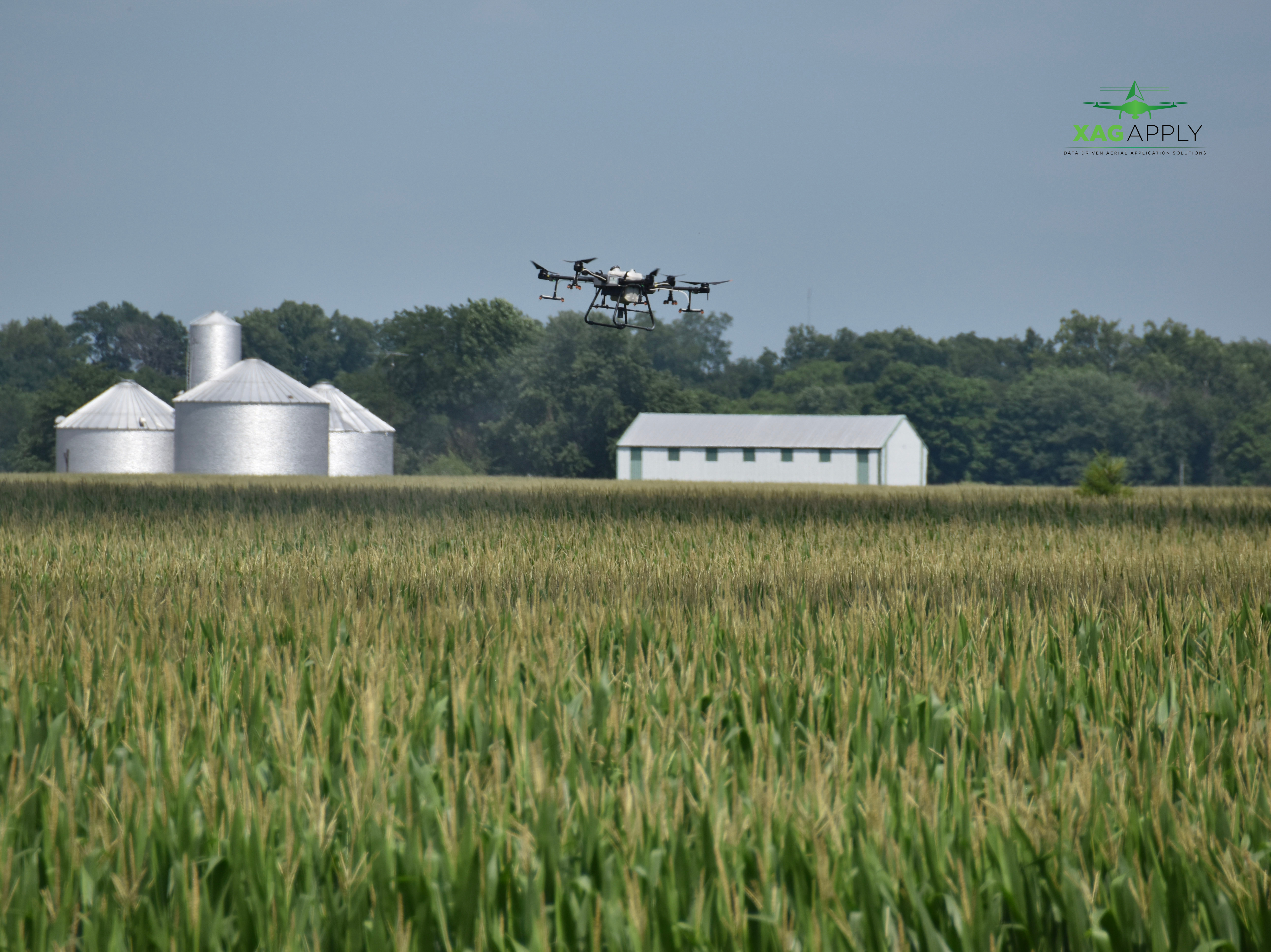
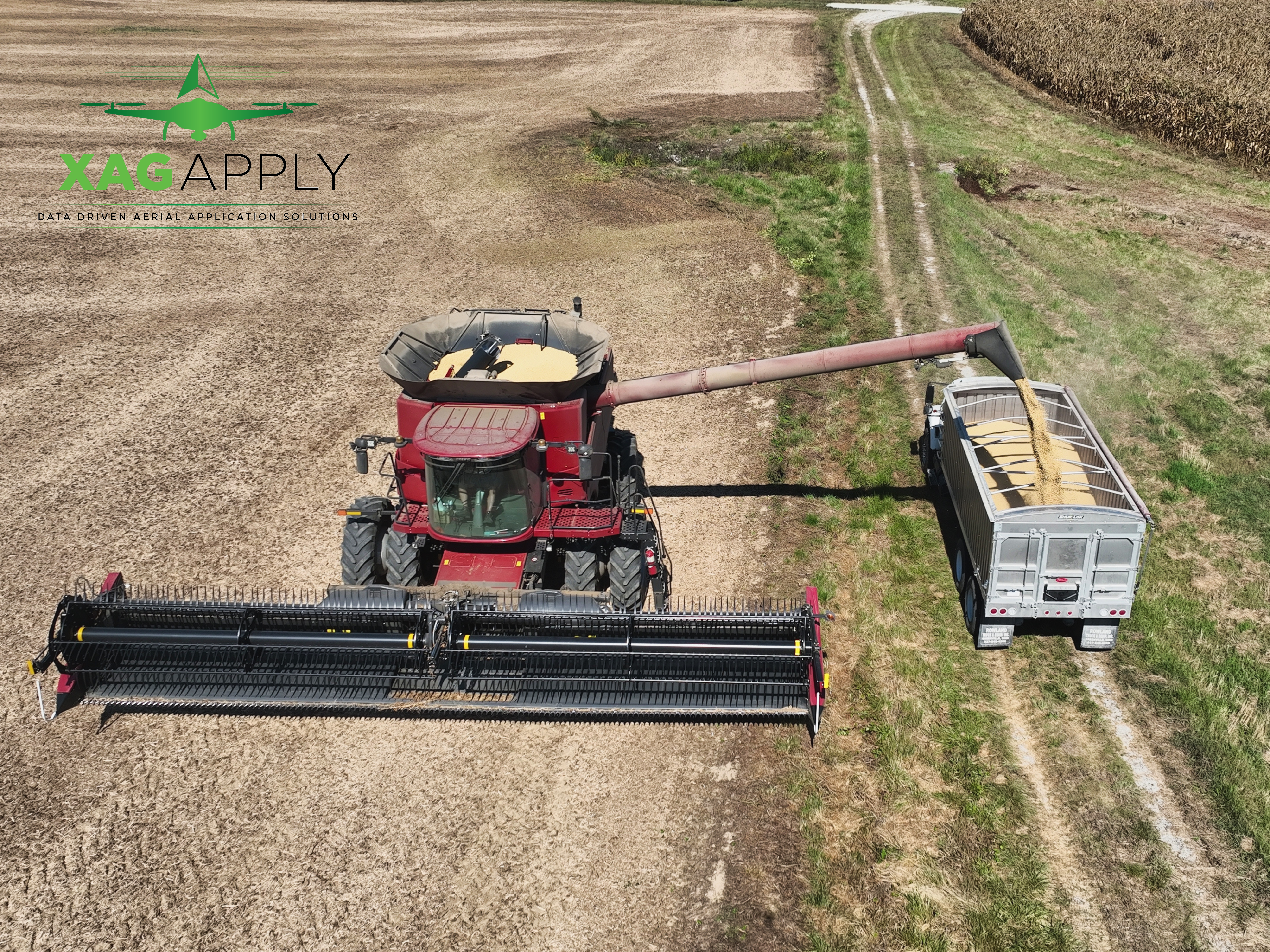
Agriculture
Drones can be very useful tools in agriculture. We have the machinery and all the licensing required for us to legally spray chemicals, spread fertilizer, and seed fields. We are also able to produce multispectral and thermal imaging that can provide real-time actionable data that is used to boost yields. Drones also have the capability to effortlessly track and keep track of the growth of crops and identify several diseases and nutrient deficiencies.

Custom Application
We have the capability to not only spray, spread, and seed fields, we can do this all with variable rate technology without having to invest in your own equipment. With sUAVs, we can create prescription maps to put on the correct amount and rate where it is needed most field-to-field. We are able to ensure each grower that their fields are getting tailored to as needed. This ensures more efficient nutrient use, but it also ultimately results in lower input costs and higher profits without even touching the crop and/or field.
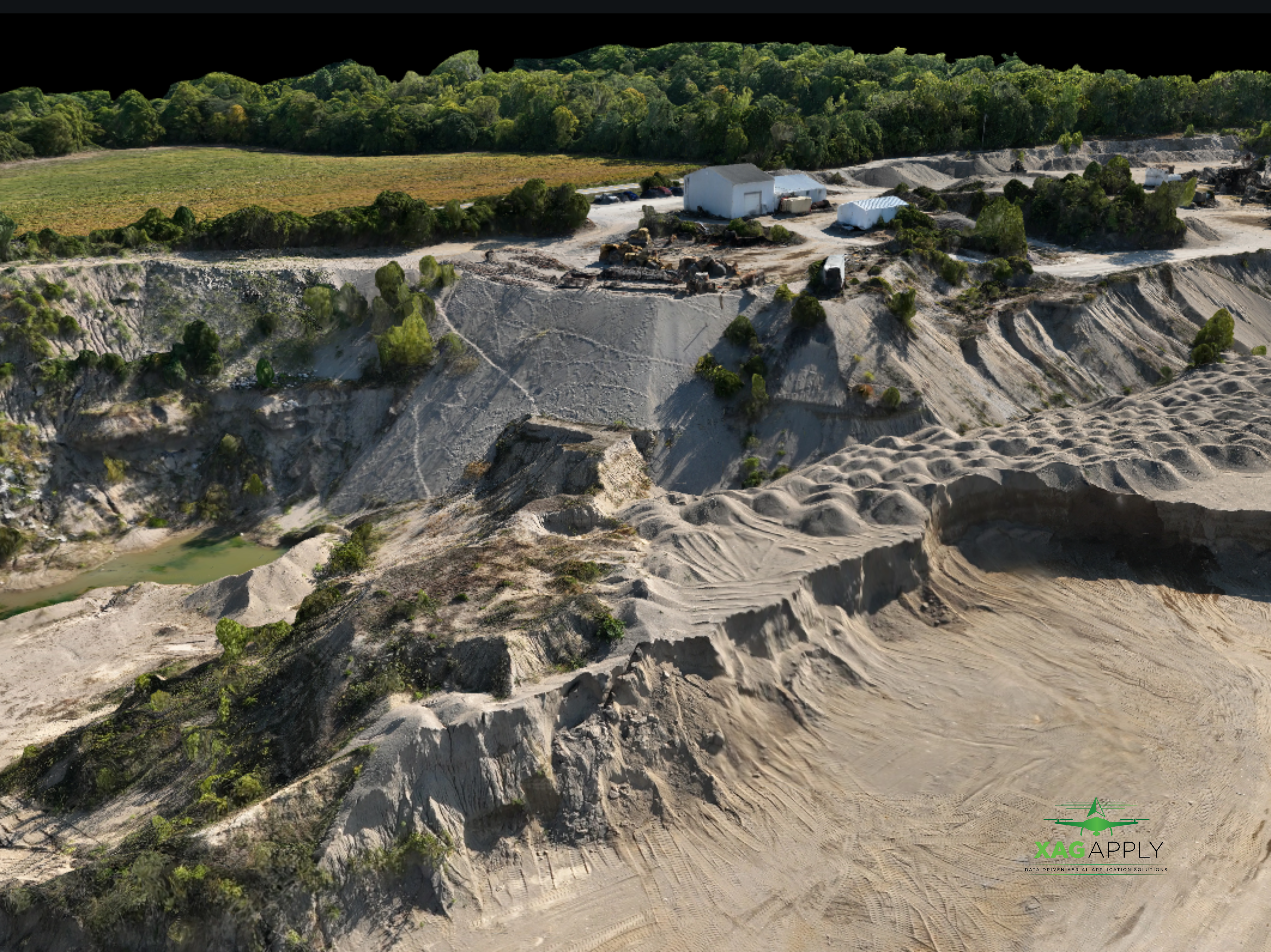
3D Rescontruction
Drones give us the capability to capture highly accurate measurements in a fraction of the time it would normally take to get measurements. With this said, that takes off the cost and workload of specialists in the surveying field. We are able to process quality maps with survey grade results, including orthomosaics, elevation models or 3D models of the project area. These maps can be used to produce data sets such as highly-accurate distances or volumetric measurements.
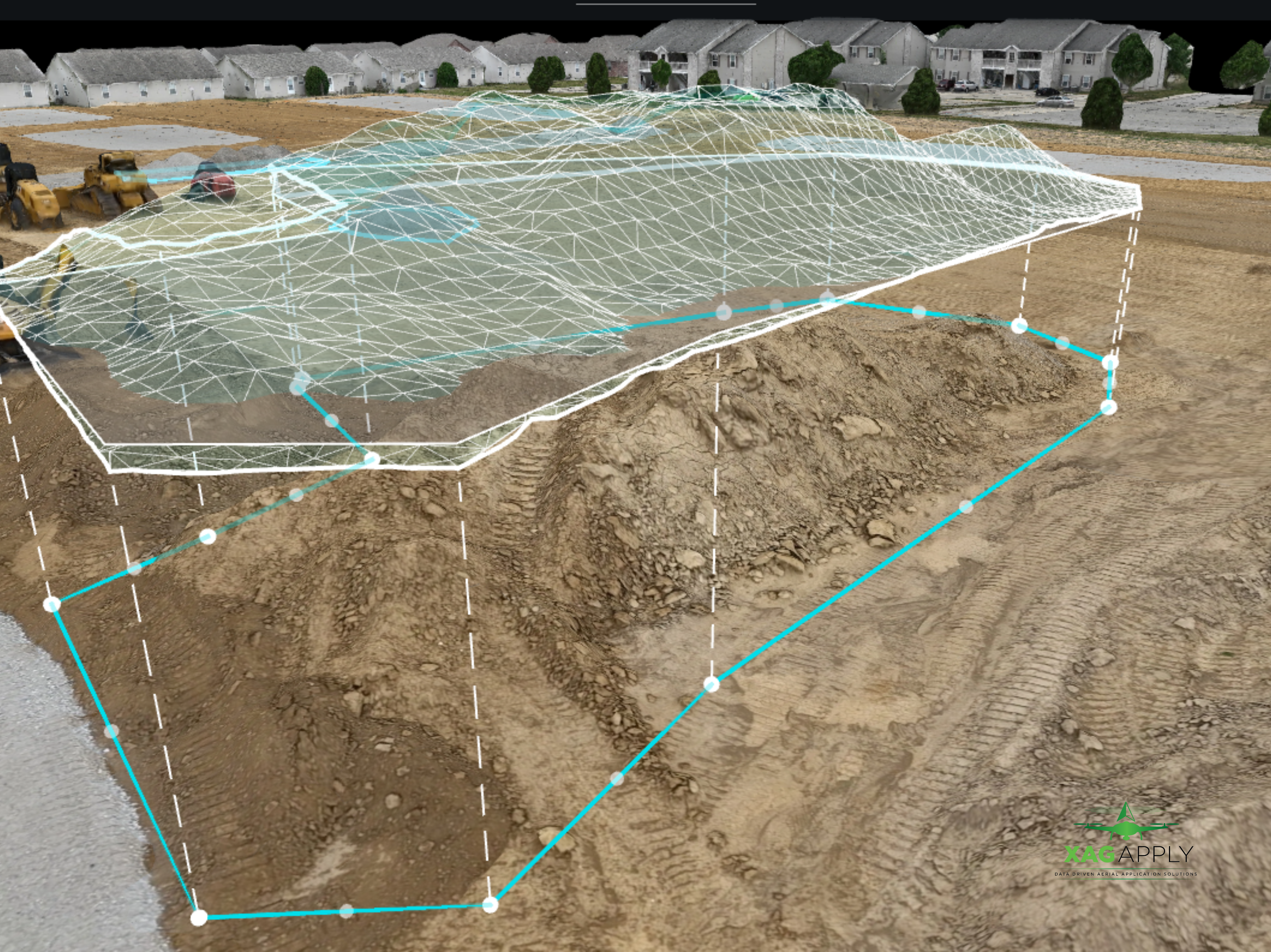
Volumetric Models
Accurate measurements down to a centimeter level of stockpile information. Such areas where this is crucial could be quarries, dirt work on construction job sites, oil and gas industries. These are crucial datasets that have to be extremely accurate and with the help of a UAV, these measurements can be taken much quicker and just as, if not more, efficiently than doing handheld measurements.
What Our Customers Are Saying
Why XAG Apply
From proper chemical licensing to individual pilots receiving specialty training, we have it all covered! XAG Apply follows all FAA rules, UAV weather forecast regulations, and looks closely at different local ordinances that need to be followed everywhere we travel.
All of our pilots are FAA Part 107 certified and ensure high quality work while maximizing your benefits. We have constructed a company that only provides quality and professional work with expert knowledge of tailored applications and services to individual needs.